| 766 | Mount Le Conte Map | 2013-02-04 |
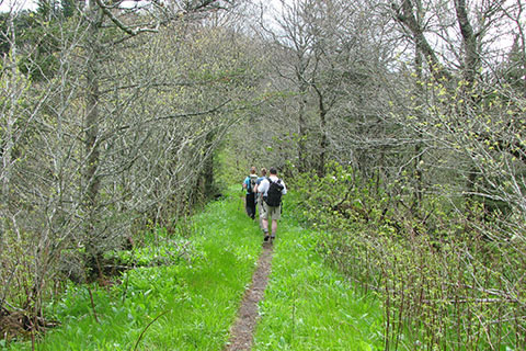
Bullhead Trail - 6 miles (to Rainbow Falls Trail Junction)
One of our primary goals for our cloudhiking site this year was to make a good Mount Le Conte map. We already had two maps of Le Conte - one map that included Alum Cave and the Boulevard and the other map included Rainbow Falls and Bullhead trails. Neither map included Trillium Gap Trail. Instead of making a third map for the missing trail, we decided to bite the bullet and make one big Mount Le Conte Trail Map to include all five trails.
We are submitting a geo-referenced version of the map to be included in the Avenza Map Store - in conjunction with the App Store (Apple's Store). More on the geo-referenced map after it is accepted.
Now for a few photos of the trails ...
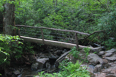
Alum Cave Trail - 5 miles (to Rainbow Falls Trail Junction)
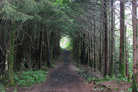
The Boulevard - 4.95 miles (to High Top from the junction on the AT)
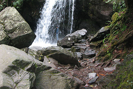
Rainbow Falls - 6.00 miles (to Bullhead Junction)
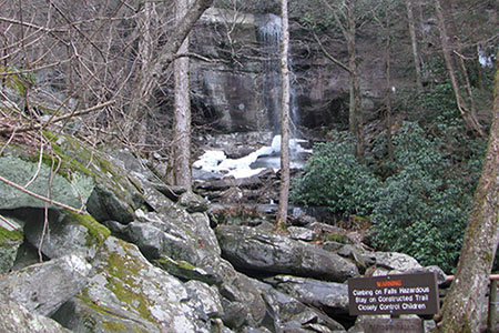
Trillium Gap Trail - Grotto Falls - 8.80 miles (from the Rainbow Falls trailhead to the Rainbow Falls - Boulevard Trail Junction near the Lodge)
All five trails on Mount Le Conte are worthy adventures. We are proud to present our map of the mountain and the five trails.
cloudhiking's Mount Le Conte (the map is 1.8mb - sorry we really worked at getting it that small!)
Happy Le Conte trails
Great Smoky Mountain National Park
other Metro to Mountain pages
Mount Kephart from Alum Cave Trailhead - Jun 2010
Mount Le Conte Trip Report - Feb 2011
Alum Cave Trail - May 2011
Trillium Gap Trail - Jan 2012
Smokies - Jan 2013