
Scree - January 16, 2011
Finding Rock Island
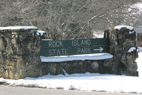
Yesterday we went to Rock Island State Park to visit the area and hike the Nature Trail.
Leaving Interstate 40 in Lebanon, TN we headed southeast toward Smithville. The two lane highway was a pleasant drive. In Smithville we turned south on Highway 56 and were looking for highway 287. We found a lot of tree and shrub nurseries which lined both sides of the highway as we looked for our turn to the Park. We found that Highway 56 leads all the way to McMinnville. The only problem was we did not intend to go there. We never found a sign saying "287" or one to the Park. Our error cost us a bit of time; but we were not really in a hurry.
We did not have a map with us and we do not use a GPS for driving. We use a GPS all the time when we are hiking; but despise using one in the vehicle. We would rather be a bit off course, than to have the GPS try to tell us we are going the wrong way. So we mistakenly drove to McMinnville. In town, we intersected with a known highway (70) and continued to the Park.
We had a great day. We did not mind being disoriented when we missed the turn. We knew where we were, we just were not where we wanted to be; but we got there!
One Dog Night
Visiting Fall Creek Falls, there was still a lot of snow on the plateau. We camped and had a great visit with Ray on his bday. It was actually warmer than we expected. Jake, our dog, helped keep us nice and warm. It was truly a one dog night.
