| 318 | Percy Warner Horse Trail | 2010-12-10 |
Looking down on the Boulevard from the top of the Allée
Ten years ago, I ran regularly at night at Nashville's Percy Warner Park. My friend, Mark and I met at the Boulevard entrance to suffer through the cold evening weather. I don't know that we ever cancelled a run because of the weather; but there were quite a few miserable nights! We grew very familiar with the darkened air.
For our first date, my wife, Amy and I went for a night hike in the Park. I was working on a map and was interested in rolling the horse trails with a measuring wheel. She agreed to help me. The horse trails are designated for horses only. I was wanting to measure the trails; but it was hard to do it without walking them. The horse trails closed at dark, so a night hike on the trail was perfect for gathering data. Our measuring efforts were a disaster; but we did have fun, started dating, and here we are cloudhiking away.
Wednesday night, Amy and I returned to measure the trail distance. We didn't bring the repaired measuring wheel, instead we carried a reliable GPS for measuring the distance. My, how times have changed. (I actually had a GPS on our first attempt; but it was not very accurate and I was not very skilled at using it.)
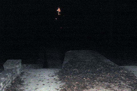
We started our hike after dark. Parking at the Boulevard we climbed the stairs to the top of the Allée and the start of the horse trail. It was a cold (probably 20 degrees) clear, night - great for a walk. The steep stairs made me stop and adjust my layers to help regulate my temperature. The moon was a small, beautiful crescent that did not take away from the starry skies
Our hike was short; but enjoyable. Round trip, Garmin claimed the mileage to be 2.75 miles. We hiked counter-clockwise on the horse trail to Deep Well. Turning left on to the Deep Well Cutoff, we climbed to the Park Roadway at Mile Marker 10. Crossing the road, we descended to the other leg of the trail, turned left and returned to the top of the Allée. We descended the stairs to the Boulevard back to our vehicle.
A few trail notes ...
- We use a Garmin GPSmap 60CSx for mapping. It has been replaced by the 62 model, but the 60 is still a good device.
- For lights we use the Black Diamond Spot headlamp.
- The horse trails used to be easier to walk than the hiking trails. I do not believe that is the case any longer. The hiking trails see a lot more use and are smooth and cleared of most leaves. The horse trails were not. If we were not mapping, we would rather hike or run the hiking trails.
- In case you are wondering what an Allée is... how about a Wiki link?
- We saw two other people using the trails that night. Both, were running on the hiking trails. Ten years ago, we rarely saw anyone using the trails at night.
- We also saw the eyes of two deer standing just off the trail. In our headlamps they looked like aliens from Star Trek.
- Hiking at night is different that in the day time. The hardest problem is convincing yourself that it is okay to hike at night.
The hike made for a great night, we hope to return soon, to finish mapping the trail.
Happy dark trails.
